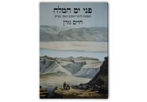
Facing the Dead Sea: The Explorers of the Lowest Point on Earth
Haim Goren
$85
$60
Availability: In Stock
Facing the Dead Sea: The Explorers of the Lowest Point on Earth by Prof. Haim Goren is a definitive historical study of the nineteenth-century discovery, measurement, and exploration of the Dead Sea. Drawing on extensive archival research, rare maps, and restored visual materials, the book brings to life the explorers, scientists, artists, and military figures whose work shaped both scientific knowledge and imperial interests in the region. Combining meticulous scholarship with an engaging narrative, it offers an authoritative account of the origins of historical geography and early scientific exploration of the Dead Sea.
Hebrew, Softcover, 448 pages, 166 images, 16.5X23.5 cm, 6.3X9.25 in, 1 kg, 2.2 lbs, First Edition, 2022, ISBN/Code 978-965-7459-51-5
On one hand, a work of exceptional scholarship; on the other, a compelling narrative that will appeal to all who love the Land of Israel.
— Eliyahu Cohen

About the Book
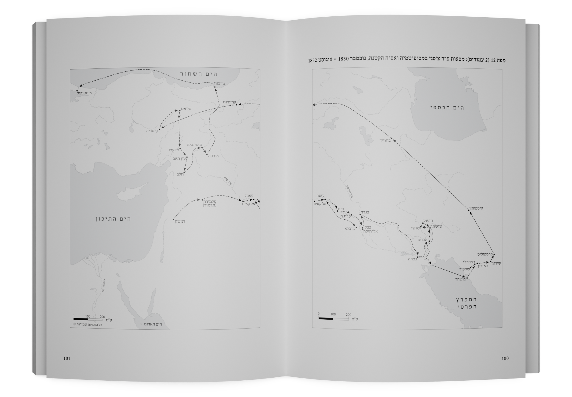
This book provides the first complete historical account of the exploration of the Dead Sea up to the mid‑nineteenth century. Following the 1837 discovery that the Dead Sea lies far below sea level, explorers from across Europe undertook expeditions to measure, map, and document the region.
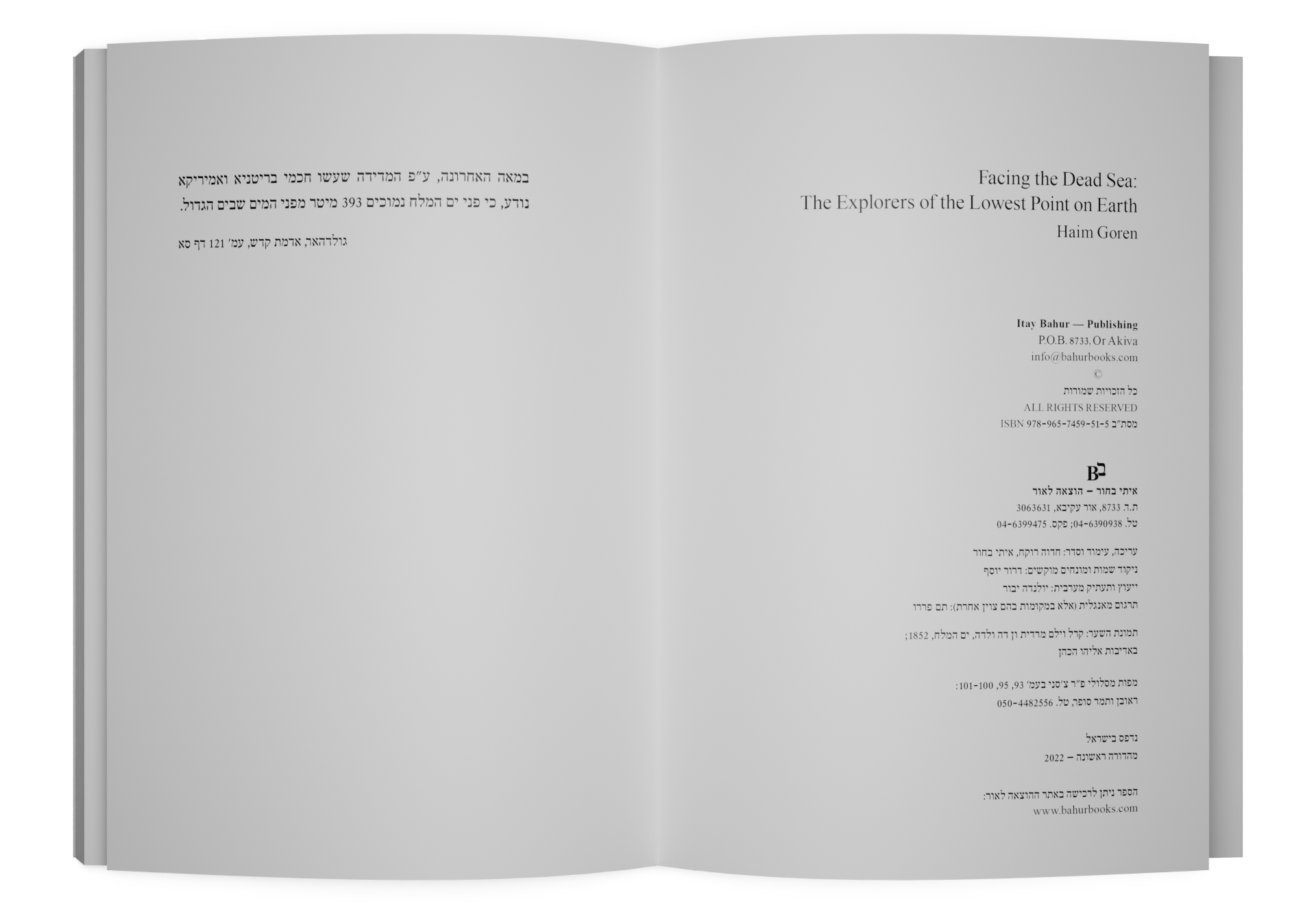
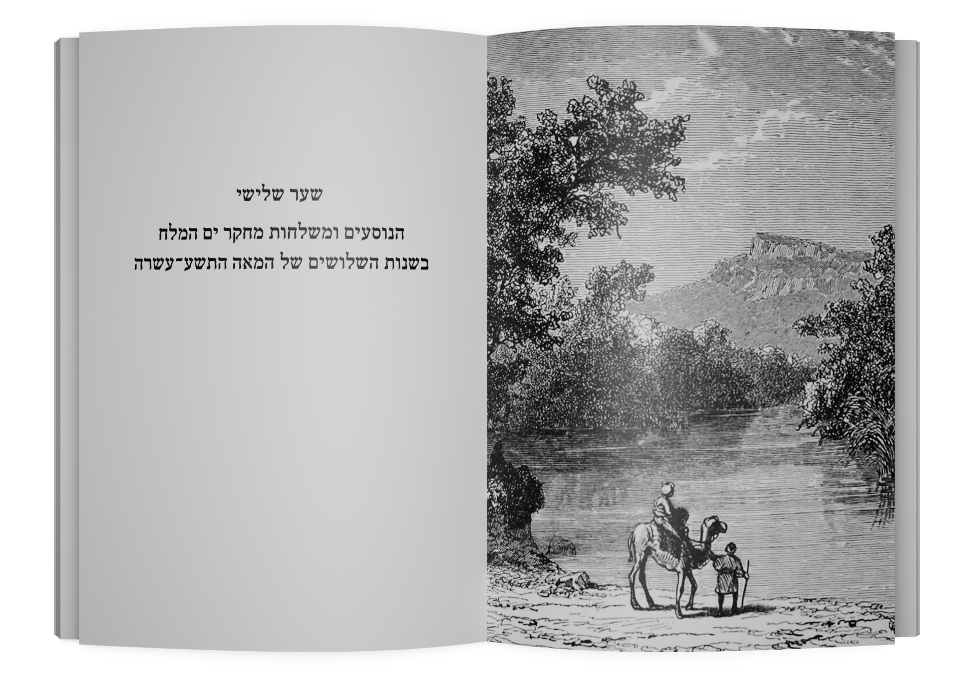
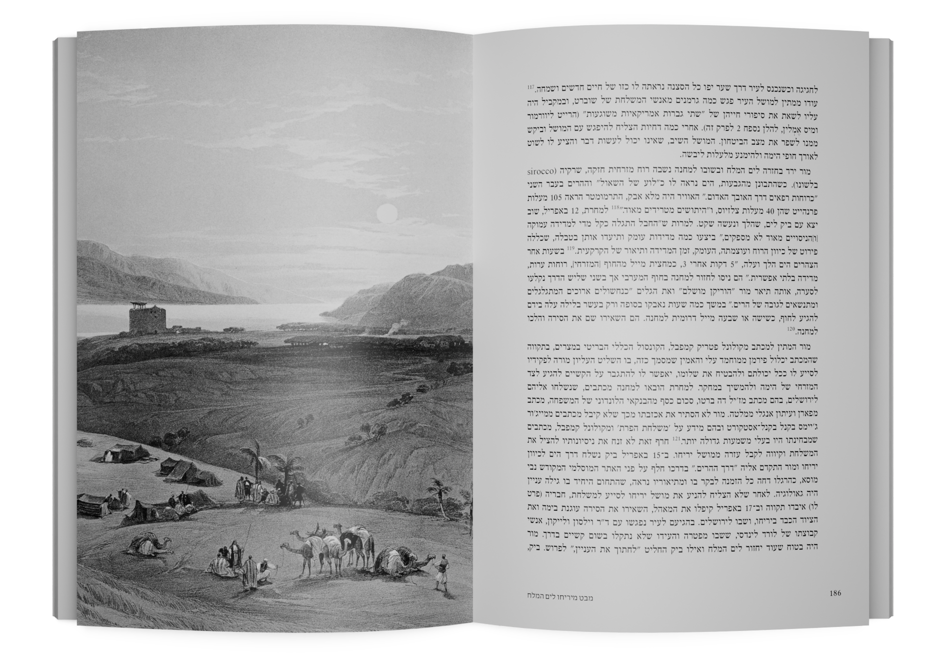
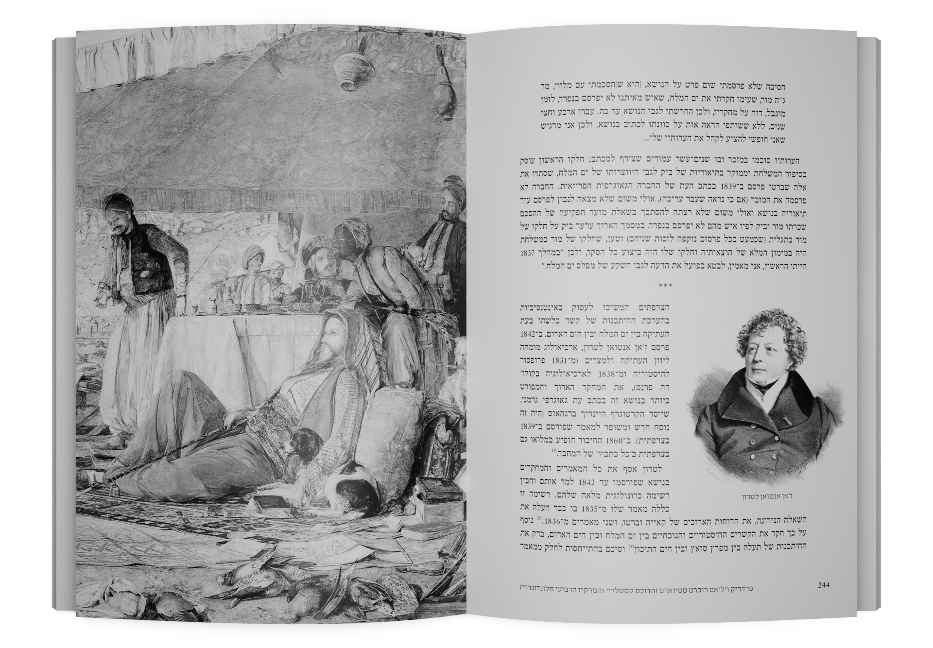
Working amid regional conflicts and imperial rivalries, these explorers advanced geography, geology, cartography, and measurement techniques, while also pursuing religious and geopolitical objectives. The book combines scientific analysis with cultural and artistic perspectives, featuring more than 30 maps and roughly 100 rare drawings and engravings by traveler-artists. Many of these materials have been carefully restored for modern publication, making the volume both an essential scholarly reference and a captivating visual record.
About the Author
Prof. Haim Goren is a leading historical geographer and Professor Emeritus at Tel-Hai Academic College. His research focuses on European scientific activity in the Ottoman Land of Israel and the Near East during the nineteenth century, with particular emphasis on the development of modern cartography and geographical knowledge. His publications are widely regarded as foundational in the field. Notable titles include Dead Sea Level: Science, Exploration and Imperial Interests in the Near East (I.B. Tauris, 2011), Mapping the Holy Land: The Foundation of a Scientific Cartography of Palestine (I.B. Tauris, 2017), and The Loss of a Minute Is Just So Much Loss of Life: Edward Robinson and Eli Smith in the Holy Land (Brepols, 2020).
Frequently Asked Questions
What makes this book unique?
It is the first study to fully integrate science, art, and geopolitics in the history of Dead Sea exploration.
Which period does it cover?
Primarily from 1837 to the mid‑nineteenth century.
Who is the intended audience?
Scholars, students, and general readers with an interest in history, geography, and exploration.
What sources does it use?
International archives, original travel narratives, historical maps, and rare visual materials.
Why is it considered authoritative?
It is based on extensive primary research conducted by a leading historical geographer.
Key Topics
Measurement and exploration of the Dead Sea
Nineteenth-century European expeditions
Historical geography of the Land of Israel
Science, empire, and religion in the region
Early cartography of the Dead Sea area
Art and visual representations of the Middle East
Explore More Israel Studies Books
Of Fish, Pond and Lake: The History of Fishing and Fish Breeding in Agricultural Settlements in the Land of Israel, 1934-1949
Amnon Loya
$46

Ich suche nach meiner Familie
Avishay Golz
$46

AIDS in Israel: Challenge and Success
Zvi Bentwich
$31

Meuhedet: A Story of a Health Fund
Shifra Shvarts and Aya Bar Oz
$46